

What is the Role of Land Title Data in Disaster Response and Recovery Planning?
Introduction
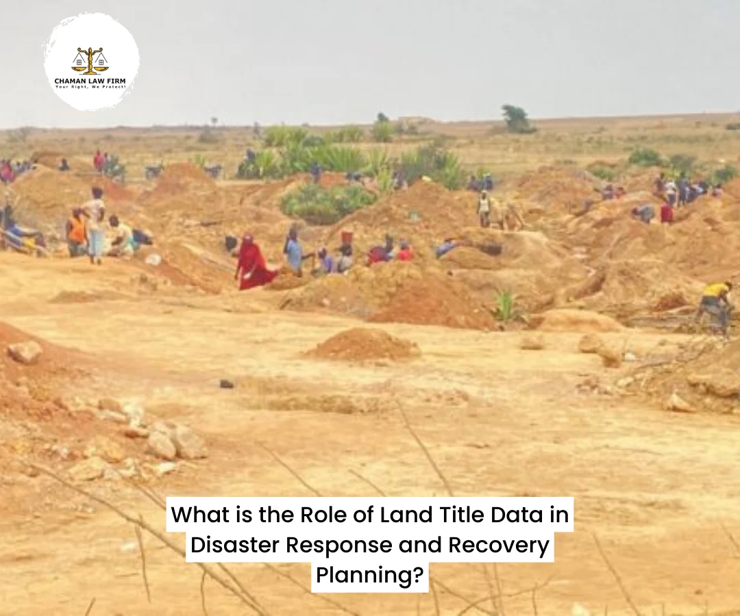
Natural disasters such as floods, erosion, building collapses, earthquakes, wildfires, and even man-made crises like oil spills and conflicts often have devastating consequences on human life and infrastructure. For governments, development agencies, and emergency responders, a key aspect of post-disaster recovery and risk reduction lies in proper planning, coordination, and decision-making—and at the heart of this process is land title data.
Land title data refers to the official records that define land ownership, boundaries, use, and rights. In Nigeria and globally, the importance of this data goes beyond real estate transactions and taxation—it is fundamental to disaster risk management, humanitarian response, and long-term recovery planning.
This article explores the critical role land title data plays in disaster response and recovery, with emphasis on how it helps secure lives, safeguard property, facilitate efficient aid distribution, and ensure transparent rebuilding efforts.
Understanding Land Title Data
What is Land Title Data?
Land title data is the collection of records, documents, and maps that provide information on:
Ownership of land and property
Geographic location and boundaries
Type of title (Certificate of Occupancy, Deed of Assignment, etc.)
Usage rights and restrictions
Valuation and tax records
History of transactions
Encumbrances (such as mortgages, liens, or claims)
This data is typically stored in:
Government land registries (e.g., Ministry of Lands, Geographic Information Systems)
Local government archives
Court records
Community or traditional institutions (for customary land)
Types of Disasters That Affect Land and Property
Flooding – E.g., Lagos, Benue, Bayelsa
Gully erosion – Anambra, Imo, Edo
Building collapse – Lagos, Abuja, Port Harcourt
Earthquake (minor tremors) – Kaduna, Abuja (recorded in recent years)
Oil spills – Niger Delta
Wildfires and communal conflict – Plateau, Taraba, Zamfara
Urban fires – Markets and residential areas
In all these cases, land and buildings are destroyed, occupants displaced, and claims of ownership contested. Accurate land title data becomes essential for restoring order and rights.
The Role of Land Title Data in Disaster Response
1. Identifying Affected Properties and Owners
In disaster zones, emergency response teams need to know:
Who owns what?
What is the use of each land parcel (residential, commercial, farmland)?
Who lives where?
Land title data provides this information, helping responders:
Prioritize vulnerable populations (e.g., elderly homeowners)
Allocate aid fairly
Determine compensation
Example:
In post-flood response in Lagos, land title data enables the government to:
Identify genuine property owners
Avoid giving aid to fraudsters
Plan resettlement programs based on verified data
2. Guiding Search and Rescue Operations
Mapping data from land registries, combined with GIS, helps:
Locate specific homes and addresses
Access trapped individuals
Avoid redundant searches
Where disaster disrupts road networks, georeferenced land titles support drone mapping and satellite-based rescue efforts.
3. Protecting Property Rights During Chaos
Disasters often create opportunities for land grabbing and forced evictions. With title data:
Lawful owners can assert their rights
Governments can prevent illegal occupations
Courts have reference for disputes
This is especially critical in urban slums, where informal settlements lack documentation and are easily displaced without due process.
4. Estimating Damage and Loss
To estimate financial loss, data is needed on:
Type of structures on the land
Size and use of property
Previous valuation
Title data informs disaster damage models used by:
Insurance companies
Donor agencies
State and federal governments
5. Coordinating Humanitarian Aid and Temporary Shelters
Land title databases help authorities:
Identify vacant plots or public lands for emergency shelter or camps
Allocate temporary land use without trespassing
Respect sacred or protected sites (e.g., burial grounds or shrines)
6. Verifying Claims for Compensation
After a disaster, the government may offer:
Cash compensation
Reconstruction grants
Land-for-land exchanges
But such programs require:
Proof of ownership
Evidence of lawful occupation
Land title data reduces false claims and ensures transparency in compensation distribution.
The Role of Land Title Data in Recovery and Rebuilding
1. Planning Safe and Resilient Settlements
Post-disaster reconstruction often includes:
Relocation of high-risk communities
Redesigning settlements
Infrastructure development
Using land title data, planners can:
Avoid rebuilding in flood-prone zones
Reallocate land for safer housing
Update land use plans based on new risk realities
2. Legalizing Informal Settlements
Disasters may highlight the plight of informal or undocumented communities. Recovery processes create an opportunity for:
Land regularization
Issuance of customary or statutory titles
Inclusion of marginalized groups in land planning
This fosters equity and social justice.
3. Securing Funding and Insurance
For international donors and insurers to fund rebuilding, they require:
Verified records of damage
Proof of legal ownership
Data on pre-disaster land values
Without title data, affected communities may miss out on:
Insurance payouts
Donor grants
Recovery loans
4. Updating Cadastral and Land Information Systems
Disasters often destroy land records stored in physical format. Recovery presents a chance to:
Digitize land registries
Modernize Geographic Information Systems (GIS)
Link land records to national identity databases
This improves resilience for future emergencies.
Case Studies: Impact of Land Title Data on Disaster Management
A. 2012 Nigeria Floods (Across 30 states)
Over 2 million people displaced.
Compensation and relocation plans were delayed due to poor land documentation.
Landowners in rural areas lacked titles and were excluded from rebuilding plans.
B. Building Collapses in Lagos
Rescue efforts are delayed when buildings are illegally constructed or unregistered.
Victims’ families struggle to prove claims.
In some cases, landlords are prosecuted, but lack of title data weakens cases.
C. Haiti Earthquake (2010) – International Example
60% of land parcels had no formal titles.
Aid agencies couldn’t rebuild without risking lawsuits.
Taught global stakeholders that land tenure data is crucial to recovery.
Challenges in Accessing and Using Land Title Data in Nigeria
| Challenge | Impact |
|---|---|
| Poor digitization | Most land records are paper-based and vulnerable to loss |
| Multiple claimants | Same land titled or claimed by more than one person |
| Corruption | Falsified titles undermine trust in data |
| Outdated records | Titles not updated to reflect changes |
| Exclusion of customary lands | Large areas of land not covered in formal records |
The Role of Technology in Enhancing Title Data for Disaster Planning
1. Geographic Information Systems (GIS)
Mapping land parcels, hazards, and ownership
Enables layered risk assessment
2. Blockchain
Prevents document tampering
Provides immutable proof of ownership
3. Mobile Platforms
Field teams collect and verify ownership data post-disaster
Enables community feedback and validation
4. Cloud Storage
Protects against loss due to fires, floods, or vandalism
Ensures remote access during disasters
Policy Recommendations for Nigeria
1. Digitize All Land Title Records
Prioritize disaster-prone states
Integrate land data with emergency planning departments
2. Mandate Land Titles for All Government Compensation
Formalize this requirement to reduce fraud and bias
3. Create Land Information Sharing Platforms
Link Ministries of Lands, Emergency Management Agencies (NEMA/SEMA), and Urban Planning
4. Regularly Update Land Registries
Encourage periodic verification of titleholders
Allow community input on boundaries and usage
5. Extend Titling to Customary and Informal Lands
Partner with traditional leaders and NGOs
Legalize community-held lands
6. Train Emergency Responders in Land Data Use
Incorporate land information in standard operating procedures (SOPs)
The Role of Lawyers and Land Professionals
Legal professionals and land consultants play a crucial role in:
Title verification
Land regularization post-disaster
Drafting relocation agreements
Mediating disputes
Assisting affected persons in filing claims and securing replacement land
Their input helps prevent land-based conflicts in the aftermath of crises.
Conclusion
Land title data is more than a legal document—it is a lifeline in disaster response and recovery. From guiding rescue efforts to protecting property rights and rebuilding lives, accurate and accessible land records are essential for resilience, justice, and sustainable development.
In Nigeria, where land documentation remains weak, investing in land title systems is an investment in disaster preparedness. Governments, communities, legal professionals, and development partners must recognize land data as an emergency asset and work together to modernize and protect it.
Contact Us
At Chaman Law Firm, we help clients secure land titles, verify ownership, prepare for risks, and ensure that land remains a source of safety—not uncertainty—in times of crisis.
Let our experts guide you through due diligence, land documentation, and post-disaster legal planning.
📞Phone: 08065553671, 08096888818
✉ Email: chamanlawfirm@gmail.com
📍 Address: 115, Obafemi Awolowo Way, Allen Junction, Ikeja, Lagos, Nigeria
🌍Click here to learn more about Chaman Law Firm
Your Right, We Protect.
